


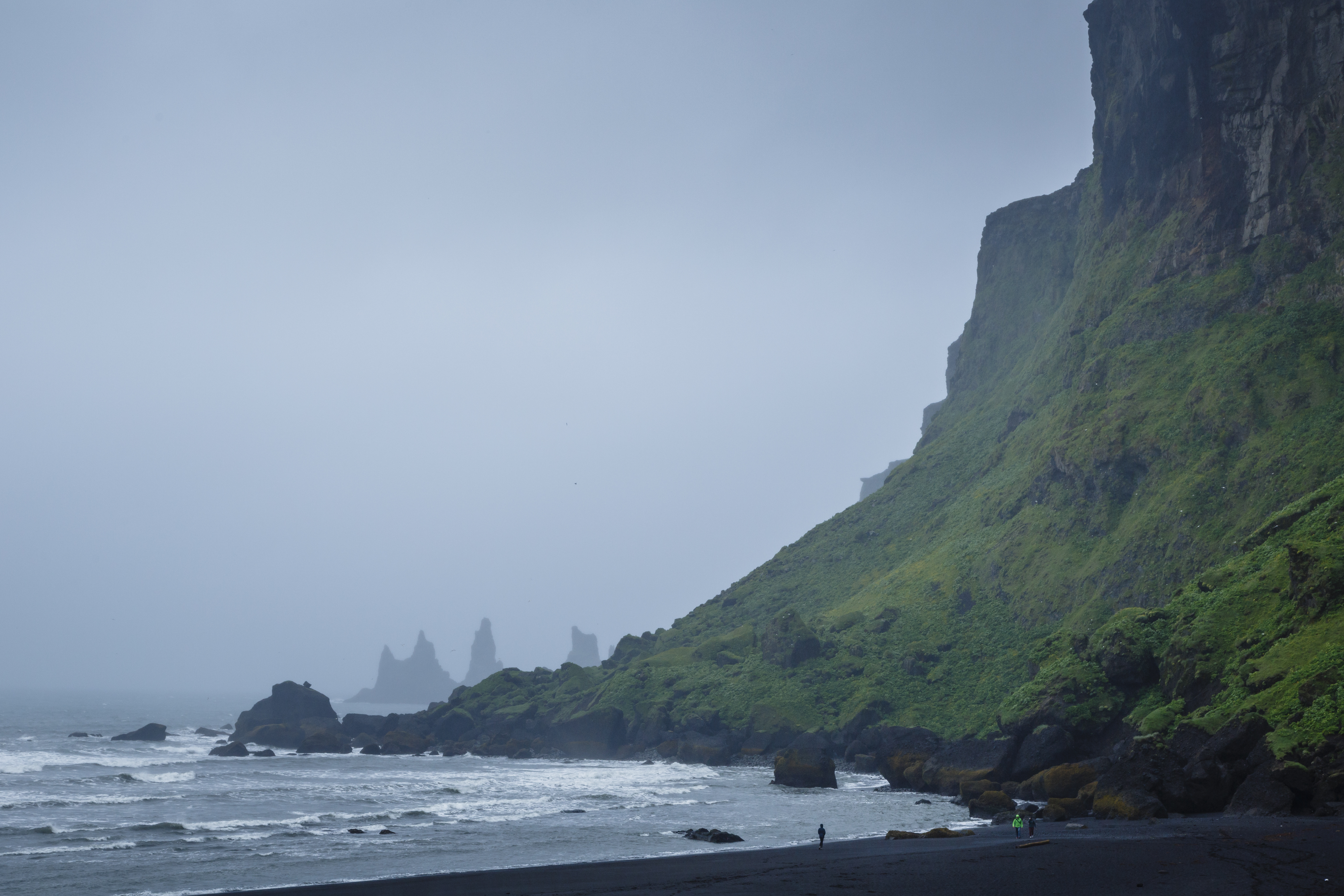
Sort basalt sand strand, Vik i Myrdal, Island. Foto: Yadid Levy / Norden.org
The forests of Iceland – yes, there are a few of them – will be more available and well known after a study made buy an Icelandic student who was granted with the SNS–NordGen scholarship.
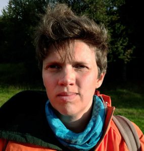 Sigríður Hrefna Pálsdóttir (photo to the right) is mapping the forest areas that was planted in the early 20th century. Without the SNS–NordGen scholarship it would have been impossible.
Sigríður Hrefna Pálsdóttir got the scholarship last year. She is a student and doesn’t have a chance to finance her project herself. With the help from SNS and NordGen she has been able to visit the forest areas around Iceland that was planted by youth organizations about hundred years ago, to map and categorize them.
– I have no income during my three years education so it would have been impossible for me to pay for the travelling myself.
Gather facts
The cause to map the forest areas is to find the right gps coordinates for the forests to make them easier to find and to categorize which are most fitted for public access. But another reason is to see in what shape they are, what tree species there are to be found and how accessible they are in terms of roads, information signs, parking and other facts that could be important for wanderers and visiting public.
The planting of these forests and what have become of them is an important part of the history of the Icelandic youth organisations. The areas can also contribute to the public health by offering a place for outdoor life and movement.
– For me personally it is really interesting to see how the forest areas have managed in different parts of the country were the weather and other conditions may differ somewhat from one area to another.
Available on the net
As a result, the efforts will end up in a website. Information about the forest areas, pictures and so called street views, 360°-pictures will be available to the public. The hope is that the website will contribute to making the forests more available, but also that the site in itself will generate some new information and maybe help to find new, noncategorized forest.
– Most likely we didn’t get information about all areas planted at this time. Through the website we will hopefully get some more information.
If the visitor doesn’t find her or his forest in the map, she or he can get back to Sigríður Hrefna Pálsdóttir who gets some more – most welcomed – job with categorizing and mapping the new area.
The result of the project will be presented at the forestry yearly conference in April 2018.